
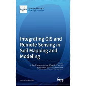
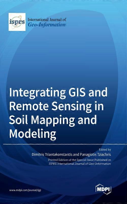
Integrating Gis And Remote Sensing In Soil Mapping And Modeling
由……售出:
CN¥749.00
有货
+ CN¥146.49 送货
14天退货政策
付款方式:
- 品牌: MDPI AG
产品详情
产品详情
Integrating Gis And Remote Sensing In Soil Mapping And Modeling
The Aim Of This Book Is To Publish Original Contributions Or Review Articles That Evaluate The Integration Of Gis And Remote Sensing In Agricultural Practice By Improving Soil Quality And Environmental Health. The Complexity Of Spatial Data And Modeling Methods In Soil Science Imposes The Need For Combined Integrated Approaches Using Robust Methods, Leading To More Accurate And Reliable Outcomes In Sustainable Soil Management. More Specifically, We Are Interested In Studies That Investigate The Impact Of Widely Applied Geographical Approaches In Everyday Soil Research And Activities.
- 品牌: MDPI AG
- 类别: 计算机与互联网
-
语言: English
-
作者: MDPI AG
-
出版日期: 2022-12-02
-
页数: 322
-
出版社/标签: MDPI AG
-
格式: Hardcover
- Fruugo ID: 557205295-1125474730
- ISBN: 9783036559780
配送
送货
在 24 小时内发货
-
STANDARD: CN¥146.49 - 之间的交付 周二 24 十一月 2026–周二 22 十二月 2026
从 英国 送货。
退货
退货
我们会争取将您订购的产品按照您的规格完整地配送给您。不过,万一您收到不完整的订单,或收到的产品与您订购的不同,或者有其他原因让您对订单不满意,您可以要求全部或部分退货,您将收到相应产品的全额退款。